Recent computer models analyzed by the specialists at the Arab Weather Regional Center indicate a significant rise in the surface temperature of the Atlantic Ocean, particularly near the coasts of the Americas and the Gulf of Mexico. The water temperatures in these regions have increased by 1 to 2 degrees Celsius above the average, now ranging between 27 and 30 degrees Celsius. This trend suggests that further temperature increases are likely in the coming months.
Implications for the Hurricane Season
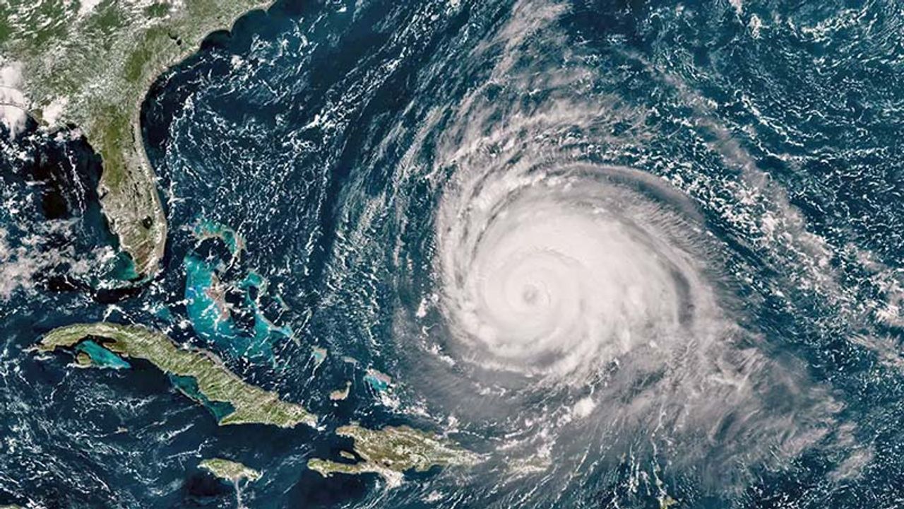
This rise in water temperature injects large amounts of water vapor and latent thermal energy into the atmosphere, creating ideal conditions for the formation and intensification of tropical cyclones. Consequently, experts predict a more active and intense hurricane season this year. The hurricane season in the Atlantic officially starts in early June and peaks between mid-August and mid-October, although tropical activity can occur outside this period as well.
Connection to La Nina
Adding to this, a new climate cycle has been observed in the Pacific Ocean – an increase in the La Nina phenomenon. La Nina is associated with stronger and more frequent hurricanes due to changes in warm ocean currents, which act as fuel for tropical storms worldwide. Specialists at the Arab Weather Center indicate that La Nina's influence could persist for the coming months, further intensifying the hurricane season in the Atlantic.